Efficiency through flexible full-frame photogrammetry
$47.97
$78.19
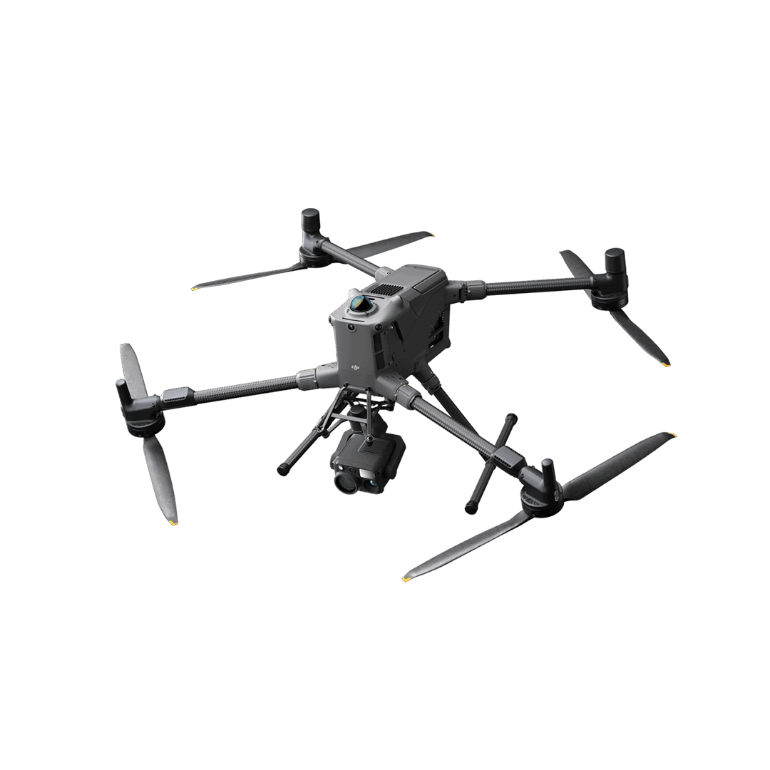
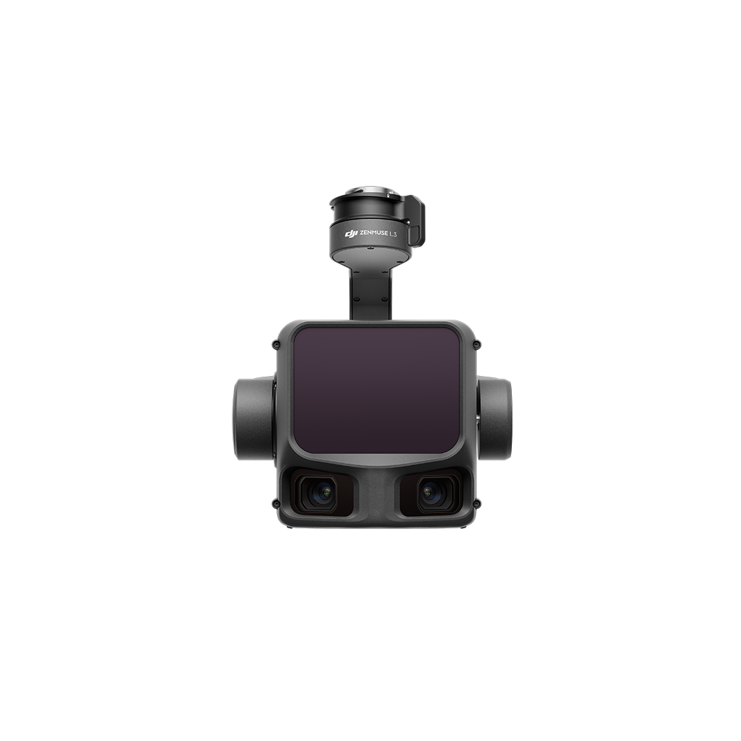
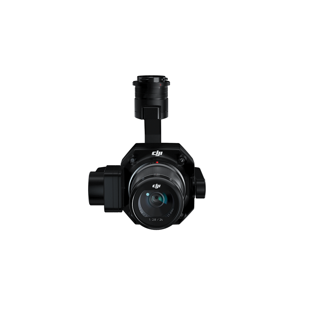
The technical specification of the Zenmuse P1 makes it suitable for a wide range of applications including Topographic Mapping, Cadastral Surveying, AEC & Surveying, Natural Resource Management, Geological Investigation and Disaster Site Modelling.• Accuracy without GCPs: 3cm horizontally / 5cm verticallyHigh efficiency – 3km² covered in a single flight45 MP full-frame sensor3-axis stabilised gimbal: smart oblique captureGlobal mechanical shutter: shutter speed 1/2000 secondsTimeSync 2.0 – synchronisation at the microsecond level DOWNLOAD DATA SHEET